Is healthy food for everyone in the city possible?
We model urban food systems by combining system dynamics and geoinformation data—so that cities can identify the sources of food insecurity and test intervention scenarios before spending a single dollar. The use case for Montreal is ready for testing!
The Challenge
Cities are full of food — and yet millions of urban households cannot reliably afford or reach a healthy diet. In Canada, 15.9% of households experienced food insecurity in 2021: about 5.8 million people, including 1.4 million children. The burden is not spread evenly. It concentrates among low-income households, renters, single parents, and recent immigrants — and it concentrates in space.
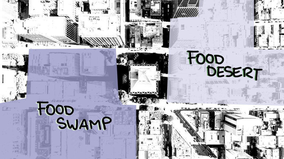
Two patterns shape the urban food landscape, food deserts and food swamps. Food deserts are areas where fresh, nutritious food is hard to reach because supermarkets and healthy food stores are scarce. Food swamps are areas flooded with cheap, energy-dense, low-nutrient options that crowd out healthier choices. Both are products of the built environment: where stores open and close, how public transport runs, what housing costs leave in the food budget.
Food security is therefore not only a supply problem that charity can fix. It is a system problem — shaped by infrastructure, income, retail dynamics, and policy. Understanding that system is the first step to changing it.
The Method
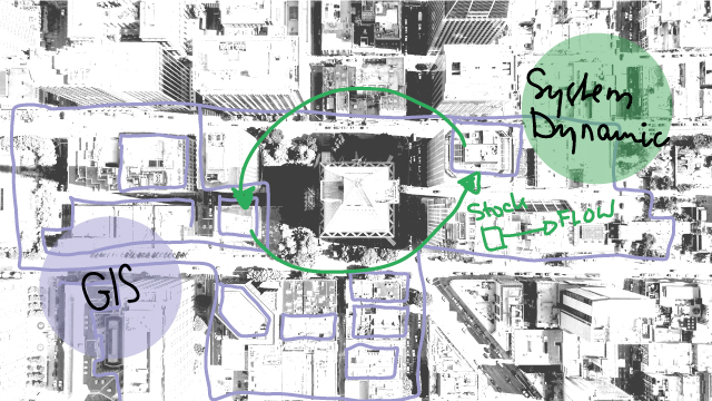
Our work integrates spatial analysis and simulation methods to model the dynamic interactions in urban food systems. We have developed a Spatial System Dynamics (SSD) framework that couples geospatial data with stock-and-flow modeling to support decision-making at the urban scale. Starting from a baseline of the current situation, users define scenarios — new supermarkets, better transit, growth rate of urban argriculture, lower or increase housing cost burdens — and simulate their effects over ten years. The outputs are maps and time series that show not only whether a measure works, but where it works, for whom, and when.
The Objective
The objective of this work is to provide a workflow and tool that is transparent and can be used in a wide variety of settings. For instance, it can be employed in an educational context, such as a classroom setting, to facilitate students' understanding of urban food systems. Additionally, planners, urban developers, and policymakers can employ it to develop scenarios and assess their impact in a virtual environment. To illustrate the method, the city of Montreal has been selected as the case study.